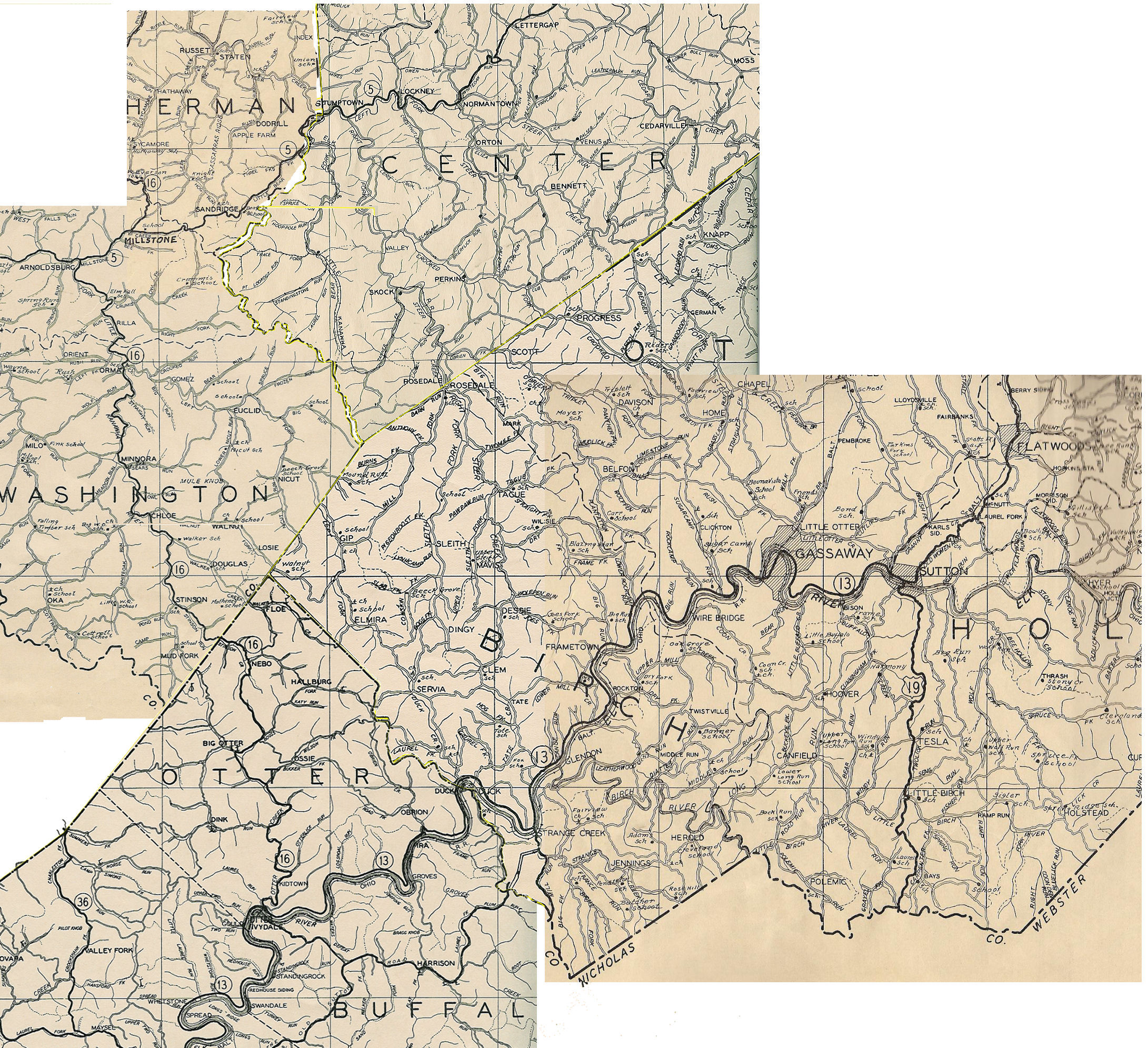
Shock and Rosedale West Virginia and Environs
Large format map of a portion of Braxton, Calhoun, and Gilmer Counties, West Virginia. The map is centered about Shock and Rosedale West Virginia.
Taken from the atlas "New Descriptive Atlas of West Virginia," published by the Clarksburg Publishing Company, 1933.
Note that Shock, Rosedale, and environs are practically on the border of Calhoun, Gilmer, and Braxton Counties. In order to get the entire area to appear in one map, three different plates have been copied and merged together to produce the map below. Also note that "Shock" is misspelled as "Skok" on this map.
Of further note, note that the Elk and Little Kanawha Railroad is depicted as running from Route 5 (Now U.S. Route 33/119) from an area between Sandridge and Stumptown, south through Bear Fork, turning north up Tanner Fork to Shock, and then on south to Rosedale. This is apparently the narrow gauge railroad which was used from approx 1910 to 1918 in the Bear Fork cooperage operation. However, this railroad is not depicted on the Braxton County portion of this composite map.